No products in the cart.
Cube Orange+ with RTK: Building a Centimeter-Accurate UAV for Mapping in Europe
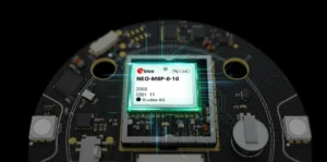
Cube Orange+ RTK Setup. Centimeter Mapping Drone for EU Operations
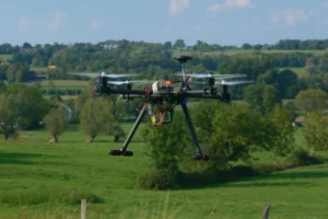
European mapping and surveying projects demand repeatable centimeter precision.
When combined with Here 4, Cube Orange+ becomes a high-precision navigation stack capable of:
- RTK Fix within seconds
- 20 Hz update rates
- Dual-band GNSS reception
- Multi-constellation support (GPS, Galileo, BeiDou, GLONASS)
This combination is ideal for:
- Photogrammetry
- Infrastructure inspection
- Agricultural precision mapping
- Corridor surveys
Why RTK Matters in the EU Market
European surveying standards and infrastructure mapping often require high positional repeatability.
RTK integration enables:
- Reduced ground control points
- Faster post-processing
- Improved mission efficiency
- Higher data reliability
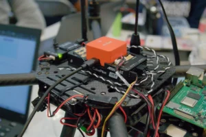
Cube Orange+ provides processing headroom for RTK without compromising stability.
Learn more about Cube Orange+ industrial capabilities here.
Cube Orange+ ADS-B UAV Controller. Airspace Awareness for EU Drone Operations
European UAV operations frequently occur near:
- controlled airspace
- industrial corridors
- transport hubs
- mixed aviation zones
The Cube Orange+ ADS-B carrier board enables reception of manned aircraft location data within range.
This adds a layer of operational awareness especially relevant in regulated EU airspace environments.
Why Industrial UAV Safety Architecture Matters
Industrial UAVs must consider:
- System redundancy
- Situational awareness
- Regulatory compliance mindset
- Operational transparency
Cube Orange+ supports these principles through:
- Redundant IMUs
- Expandable carrier architecture
- ADS-B reception
- DroneCAN modularity
- DroneCAN modularity